Paisajes físico-geográficos del municipio de Bacalar, Quintana Roo, México

Autor(es)

Authors

Omayra Jazmín Herrera Valencia
Universidad Autónoma de Quintana Roo
https://orcid.org/0000-0003-2581-9365
Luis Giovanni Ramírez Sánchez
El Colegio Mexiquense A.C.
https://orcid.org/0000-0003-0509-3413
Ángel Guadalupe Priego Santander
Centro de Investigaciones en Geografía Ambiental UNAM
https://orcid.org/0000-0002-7794-9658
María Luisa Hernández Aguilar
Universidad Autónoma de Quintana Roo
https://orcid.org/0000-0002-7699-9418

Synopsis

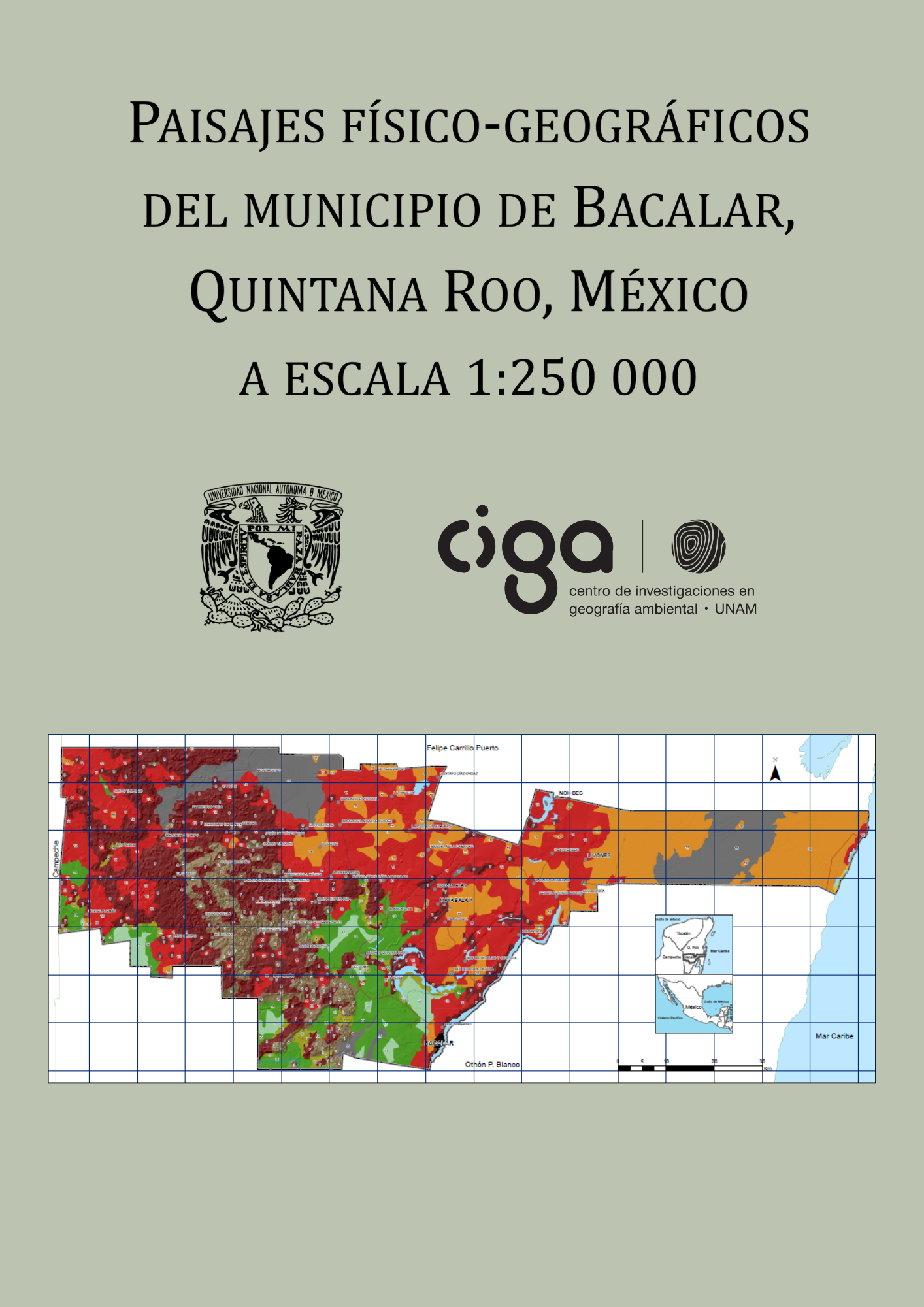
The map presents the characterization and spatial distribution of the physical-geographical landscapes of the municipality of Bacalar at a scale of 1:250,000. With the integration of the landscape components, it was possible to delimit 9 superior units (localities), 10 intermediate units (complex area) and 18 lower (simple place). The geoforms present range from slightly to strongly dissected hills to sub-horizontal plains.

Keywords:

maps, cartography, physicogeographical landscapes, Mexico, map

Published

2022

Categories